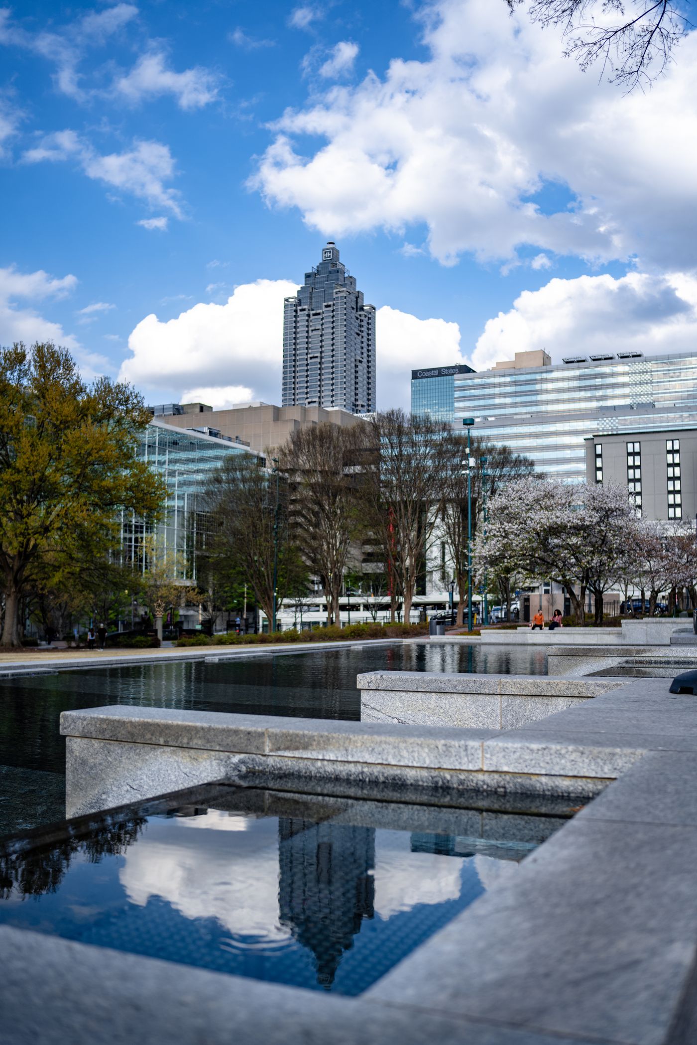
Most visitors treat the BeltLine as a sight, a loop of murals and patios to be strolled once and ticked off. That reading wastes it. The trail is a transport corridor first, and the four neighbourhoods that sit on it are bases you can move from without a car. The useful question is not what you can see along the trail but what you can reach from it. This piece compares the east and west trail-side bases for getting somewhere, and it is honest about the stretches where the corridor gives out.
What the trail actually connects
Start with the geography, because the trail's usefulness depends entirely on which side of the city you are standing on. The Eastside Trail runs through the dense, walkable east, linking neighbourhoods where the pavement is continuous and the crossings are frequent. The West End and the southwest corridor serve a different purpose: they connect a historic, largely residential district to the trail network and to a rail station that puts downtown within a few stops. These are not the same kind of asset, and treating them as one continuous ribbon leads to bad decisions about where to sleep.
The four bases in the list split cleanly. Inman Park, Old Fourth Ward and Poncey-Highland are east side, trail at the door, no rail of their own except Inman Park's station on the Blue line. West End is west side, trail at the door, with its own rail station on the Red and Gold lines. That single difference matters more than any median rate, because it decides whether a car-free day is realistic. A base with rail at the door gives you a fallback when the weather turns or when your destination sits well off the corridor.
What the trail connects in practice is a set of destinations that people actually travel between: homes, markets, offices, parks, transit stops. On the east side the corridor is short enough that walking it end to end is a normal errand rather than an outing. That is the test to apply. If the thing you want to reach sits within a comfortable walk or ride of the corridor, the trail is transport. If it does not, the trail is a pleasant detour and you will still need a bus, a train or a car to finish the job.
Think of the trail as one line on a map, not the whole network. Its value comes from the places where it touches something else useful: a rail station, a bus route, a dense grid of streets. Where those touchpoints are close together, as they are around the east side bases, you can string a day together without much planning. Where they are spread out, you need to plan the connections before you commit to a base. The list above sets out which is which; the rest of this piece is about what that means for you.
The four bases, ranked as commutes
Where it stops being a commute
The honest half of this piece is the part the trail's own publicity will not tell you. Not every segment functions as a transport route. Some stretches are built for leisure: they meander, they end, they hand you back to a road with no safe crossing and no obvious continuation. If you assume the whole corridor is a through route, you will plan a trip that cannot be completed the way you imagined, and you will find that out at the least convenient moment, on foot, with bags.
The trail also does not suit everyone as a commute. If your destination sits off the corridor, the trail adds distance rather than removing it. If you are travelling with heavy luggage, small children or limited mobility, the surface and the crossings become the deciding factor, not the scenery. If you need to arrive at a fixed time in bad weather, an exposed trail is a worse bet than a train, and no amount of neighbourhood charm changes that. These are not reasons to avoid the trail. They are reasons to treat it as one option among several.
What this piece cannot tell you is the state of the corridor on your dates. Surfaces are resurfaced, segments close, diversions appear, and a route that works in one season may not work in another. It cannot tell you how busy a stretch is at the hour you plan to travel, or whether a crossing feels safe to you. Those are things you judge on the ground or ask the operator about. Check the venue's own page for your date before you build a plan around any specific segment.
It also cannot price your trip. The site does not print fares, ticket costs or daily caps, and it does not print opening hours, because those move week to week and a stale figure is worse than no figure. What you get here is the shape of the decision: which base keeps you within walking or riding distance of the things you came for, and which base leaves you dependent on a connection you have not checked. Decide the base first. The fares are a detail you can settle later, from the operator's own information.
How to choose your base
Choose the base from the journey, not the journey from the base. Write down the two or three places you must reach: a workplace, a venue, a friend's address, a station. Then ask which of the four trail-side bases puts the most of those within a walk or a ride along the corridor, and which leaves the fewest awkward gaps. The list already ranks them by the numbers the site holds. The ranking is a starting point, not an answer, because your destinations are not the average traveller's destinations.
If you want the simplest car-free day and you are not counting every dollar, Inman Park gives you the trail at the door and a rail station of its own. That combination is hard to beat when plans change. Old Fourth Ward and Poncey-Highland put you on the busiest, most connected stretch of the east side trail, close to markets and food, with bus connections standing in for rail. West End is the value play: trail at the door, its own rail station, a lower median, and a shorter list of things within an easy walk.
Match the base to the trip you are actually taking. A working stay with a fixed daily destination rewards the base with the shortest, flattest, most predictable route to that destination, even if it costs more. A leisure stay with no fixed hours rewards the base with the most within reach on foot, because you will change your mind. A short stay rewards the base with the best fallback when the weather turns. In each case the trail is one input. Rail, buses and the street grid are the others, and they matter as much.
Before you book, check three things from the operator's own information: whether the segment you intend to use is open on your dates, how you will complete the last leg if the trail does not reach your destination, and what your fallback is when the weather turns. If all three have answers you are happy with, the base works. If any one of them is a shrug, pick a different base or plan around a station instead. The trail is at its best when it is doing a job, not when it is the whole plan.
This piece is compiled from the venue's and the operator's published information and from the site's own neighbourhood checks, not from a visit. Nobody writing it has been on the ground in Atlanta. Prices, hours and anything that moves week to week are not printed here: check the operator's own page for your date. One thing about this subject that cannot be measured from a desk is how a crossing or a busy stretch actually feels underfoot at the hour you plan to travel; that is a judgement only you can make. Nothing on this page is paid placement.
Read the method ↗